
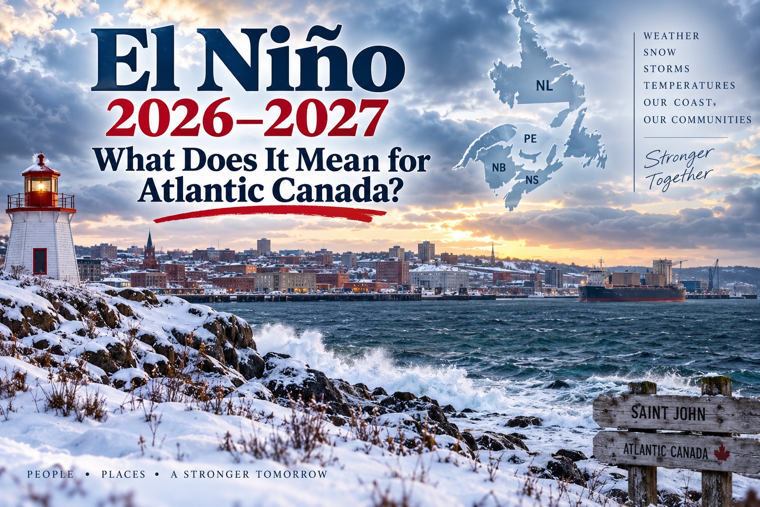
El Niño 2026–2027: What Could It Mean for Atlantic Canada?
**Atlantic Canada could be in for an unusual winter.** A strengthening El Niño in the Pacific Ocean is expected to influence weather patterns across North America during the winter of 2026–27, but exactly what it will mean for New Brunswick, Nova Scotia, Prince Edward Island and Newfoundland and Labrador remains uncertain.
As of September 2026, the signs are becoming increasingly significant. NOAA’s Climate Prediction Center says El Niño is strengthening and gives a greater than 90% chance that a **very strong El Niño** will be present during the Northern Hemisphere fall and winter of 2026–27. NOAA also says there is a 69% chance that the October–December period could produce an event reaching historically exceptional strength.
So, what could this mean here in Atlantic Canada?
## What is El Niño?
El Niño is a recurring climate pattern associated with unusually warm ocean temperatures in the central and eastern tropical Pacific Ocean.
Although the warming occurs thousands of kilometres away, it can influence the jet stream and atmospheric circulation over North America. The result can be noticeable changes in temperature, precipitation and storm tracks.
Environment and Climate Change Canada notes that El Niño generally has its strongest influence on Canada during **winter and spring**. Western, northwestern and central Canada often experience milder conditions, while the effects in eastern Canada tend to be weaker and more variable.
That last point is especially important for Atlantic Canada.
## Atlantic Canada is not guaranteed a mild winter
It would be a mistake to assume that El Niño automatically means a warm winter in Saint John, Fredericton, Moncton, Halifax, Charlottetown or St. John’s.
Atlantic Canada’s weather is influenced by many factors besides El Niño, including the position of the jet stream, the North Atlantic Oscillation, blocking patterns, Arctic air outbreaks, ocean temperatures and the track of individual storms.
In other words, **El Niño tilts the odds — it does not write the weather forecast.**
A winter can contain long periods of mild weather followed by several days of bitter cold and major snowstorms.
## What could happen in New Brunswick?
For New Brunswick, one possibility is a winter with **more frequent periods of milder temperatures**, particularly during some parts of the season.
That could mean more winter precipitation falling as rain or wet snow rather than staying entirely as powdery snow, especially near the Bay of Fundy and along the southern coast.
For communities such as Saint John, Rothesay, Moncton and coastal areas, temperatures hovering near the freezing mark can create particularly challenging conditions.
A storm that would normally produce snow could instead produce:
* Rain
* Freezing rain
* Wet snow
* A mixture of precipitation
* Rapid changes from rain to snow as colder air arrives
However, a milder average does **not** mean fewer snowstorms.
A single major coastal storm can still dump significant snow on New Brunswick even during an El Niño winter.
## Nova Scotia and Prince Edward Island
Nova Scotia and Prince Edward Island could also experience a variable winter.
Coastal Nova Scotia may see more occasions when temperatures fluctuate around freezing, increasing the possibility of rain, freezing rain and wet snow.
Prince Edward Island, meanwhile, could see significant changes in snow conditions depending on storm track and temperature.
For farmers, snowmobilers, skiers and other winter recreation enthusiasts, the timing of cold and snow may be more important than the seasonal average.
A winter that averages slightly milder than normal can still produce several excellent snow events.
## Newfoundland and Labrador could be different
Newfoundland and Labrador presents an additional complication because of its location in the North Atlantic.
Storm tracks crossing the Atlantic can produce rapidly changing conditions, particularly when relatively mild maritime air meets colder continental or Arctic air.
This can result in some storms bringing heavy snow to one part of the province while producing rain or mixed precipitation elsewhere.
The island’s exposed position also means that strong coastal storms and high winds can remain a major winter concern regardless of the broader El Niño pattern.
## Will there be less snow?
This is one of the biggest questions — and the answer is **not necessarily**.
El Niño does not simply turn off Atlantic Canada’s snow machine.
Snowfall depends heavily on individual storm tracks and temperatures. A storm passing west of an area may bring rain, while a storm passing farther south and east could bring substantial snow.
There may also be periods when cold Arctic air settles over the region and produces excellent conditions for snow.
Therefore, **a milder winter does not automatically equal a snowless winter.**
## What about major winter storms?
This is where Atlantic Canadians should continue to pay attention.
Even if the overall winter pattern becomes milder, major storms can still develop.
The combination of strong temperature contrasts, Atlantic moisture and powerful low-pressure systems can produce significant storms.
For Atlantic Canada, the most important question may not be:
**”Will winter be warmer?”**
but rather:
**”Where will the major storms track?”**
A storm passing close to the Atlantic provinces can produce heavy precipitation, strong winds, coastal flooding and dangerous travel conditions.
## What about 2027?
The influence of El Niño is expected to be most important during the **2026–27 winter**.
However, looking beyond the winter becomes increasingly difficult.
Climate forecasting several seasons ahead carries substantially more uncertainty, and El Niño itself can weaken, persist or transition toward another ENSO phase.
NOAA’s current outlook shows El Niño remaining dominant into early 2027, with very high probabilities through the winter and into spring.
That means Atlantic Canadians should be cautious about headlines predicting exactly what the entire year of 2027 will bring.
At this point, it is much safer to discuss **probabilities and tendencies** rather than make a firm prediction for the whole year.
## A changing winter climate
There is another factor to consider.
Atlantic Canada is experiencing long-term changes in its climate, meaning today’s winter conditions cannot always be compared directly with winters several decades ago.
Environment and Climate Change Canada maintains climate records and normals for locations across Atlantic Canada, providing an important baseline for understanding local temperature and precipitation patterns.
El Niño is therefore only one piece of the puzzle.
## What should Atlantic Canadians watch this fall?
As we move through September, October and November, several indicators will become increasingly important:
**1. Pacific Ocean temperatures**
The strength and persistence of El Niño will help determine how strongly it influences North American weather.
**2. The jet stream**
Its position will help determine where storms travel and where Arctic air can move south.
**3. The North Atlantic Oscillation**
Changes in this atmospheric pattern can have a major influence on Atlantic Canada’s winter weather.
**4. Atlantic Ocean temperatures**
Warmer-than-normal ocean water can provide additional moisture and energy for storms.
**5. Early winter weather patterns**
What happens in November and December will provide valuable clues about the eventual winter pattern.
## Bottom line for Atlantic Canada
The developing **2026–27 El Niño is a major climate signal**, and NOAA currently expects a very strong event.
For Atlantic Canada, however, the story is more complicated.
We could see more frequent periods of milder weather, but that does not rule out severe cold, major snowstorms, freezing rain or powerful coastal storms.
The safest prediction is that **winter 2026–27 could be highly variable**.
And for Atlantic Canadians, that means keeping the snow shovel, winter tires and storm supplies ready — even if the long-range outlook suggests a generally milder pattern.
**Winter in Atlantic Canada has a way of reminding us that averages don’t tell the whole story.**
### Sources
* [NOAA Climate Prediction Center — ENSO Diagnostic Discussion](https://www.cpc.ncep.noaa.gov/products/analysis_monitoring/enso_advisory/ensodisc.html?utm_source=chatgpt.com)
* [NOAA — Official ENSO Probabilities](https://www.cpc.ncep.noaa.gov/products/analysis_monitoring/enso/roni/probabilities/?utm_source=chatgpt.com)
* [Environment and Climate Change Canada — El Niño and Canada](https://www.canada.ca/en/environment-climate-change/services/weather-general-tools-resources/el-nino.html?utm_source=chatgpt.com)
* [Environment and Climate Change Canada — Canadian Climate Normals](https://climate.weather.gc.ca/climate_normals/results_1981_2010_e.html?climate_id=8501100&dispBack=0&lstProvince=NL&searchType=stnProv&txtCentralLatMin=0&txtCentralLatSec=0&txtCentralLongMin=0&txtCentralLongSec=0&utm_source=chatgpt.com)